Cindy Halcumb
Professional Land Surveyor
Cindy has over 33 years of Land Surveying experience in the public and private sector. A registered Land
Surveyor in Washington and Oregon, she has consistently demonstrated a professional and personal
approach to the industry. Her experience includes Professional Land Surveying services for:
- Boundary Surveys
- Right of Way Surveys
- Record of Surveys
- Land Corner Record Preparation
- ALTA Surveys
- Topographic Mapping Surveys
- Digital Terrain Modeling
- Legal Description Preparation
- Control Network Surveys
- Monument Preservation Surveys
- Monument Reestablishment Surveys
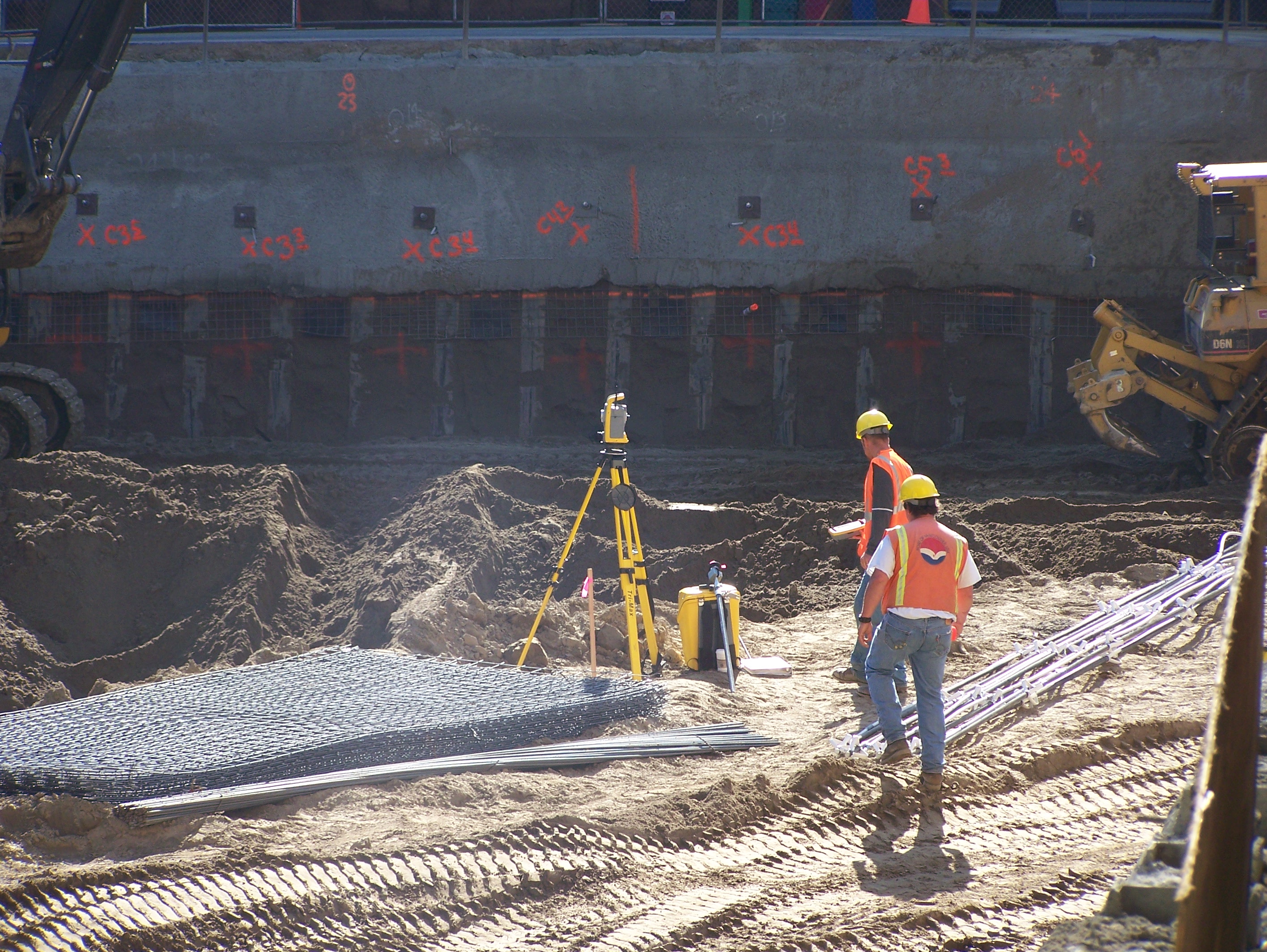
- Construction Staking
- Elevation Certificates
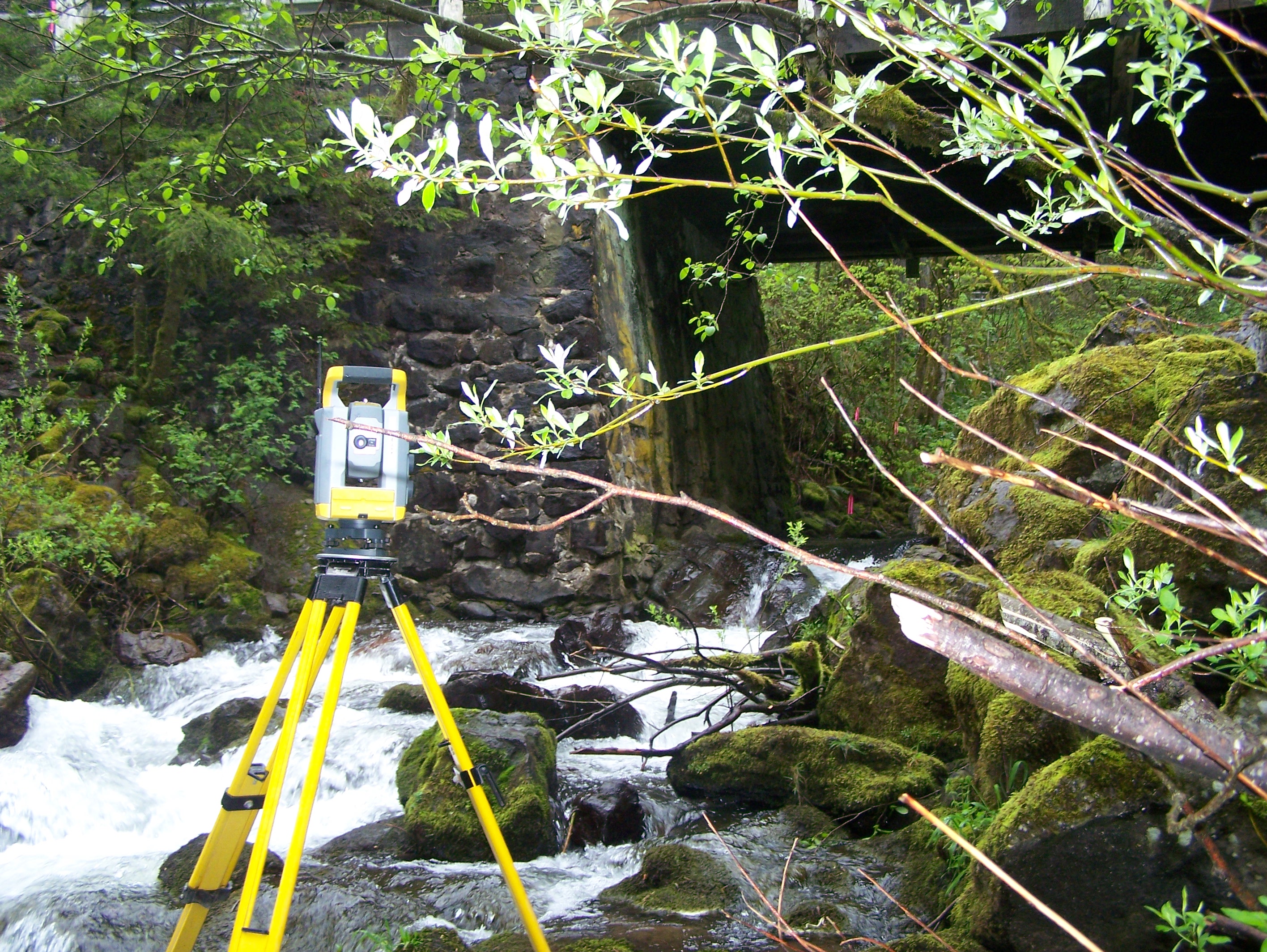
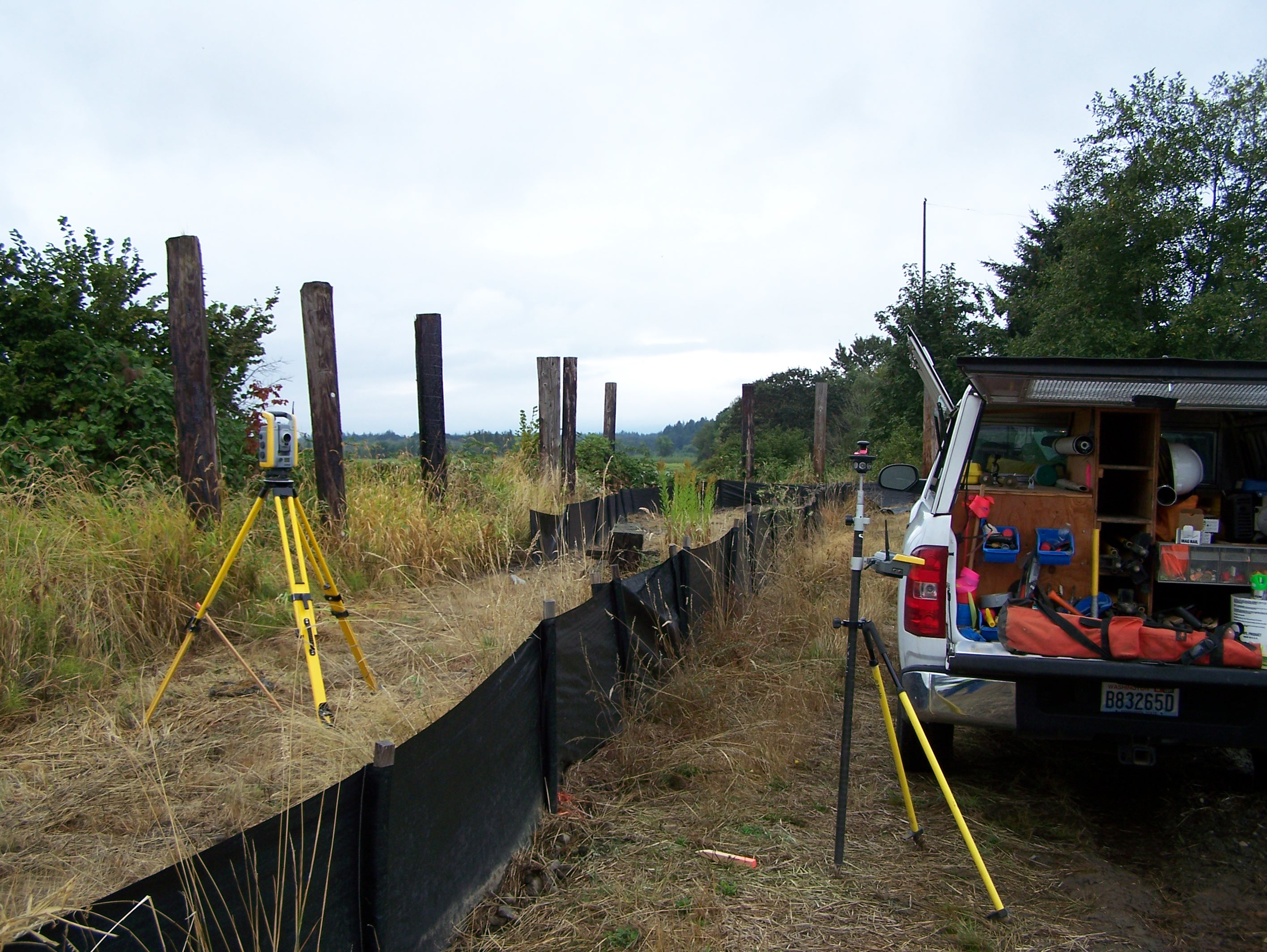
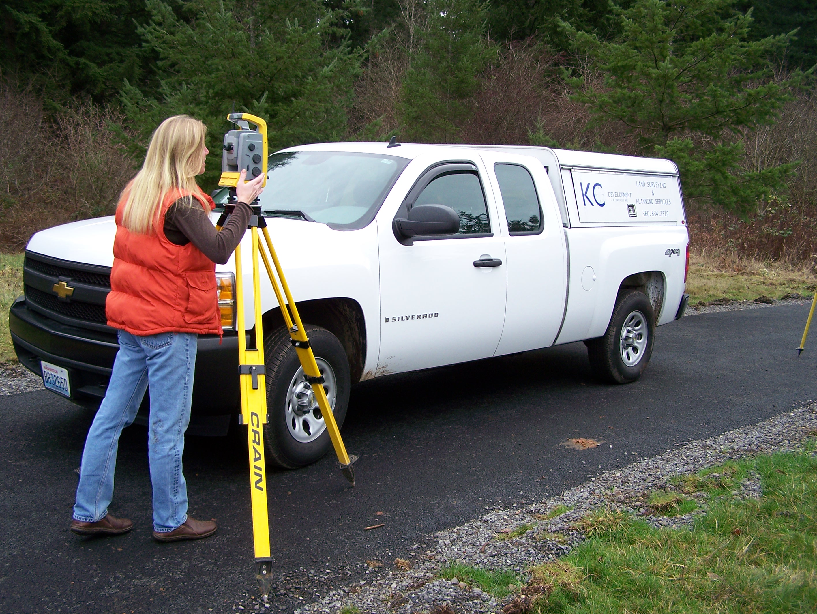
Cindy’s proficiency with Trimble Robotic Total Stations and GPS Base and Rover Units, Digital Levels, Civil
3D, AutoCAD Land Desktop Design, Pix4d, Trimble Business Center, Microsoft Excel and Word facilitate
her hands on approach from project set up to completion. She is a very meticulous AutoCAD drafter
which translates to a clear and accurate final product for all deliverables. Her excellent communication
skills are evident when coordinating efforts between engineers, public agencies, contractors and the
private sector.