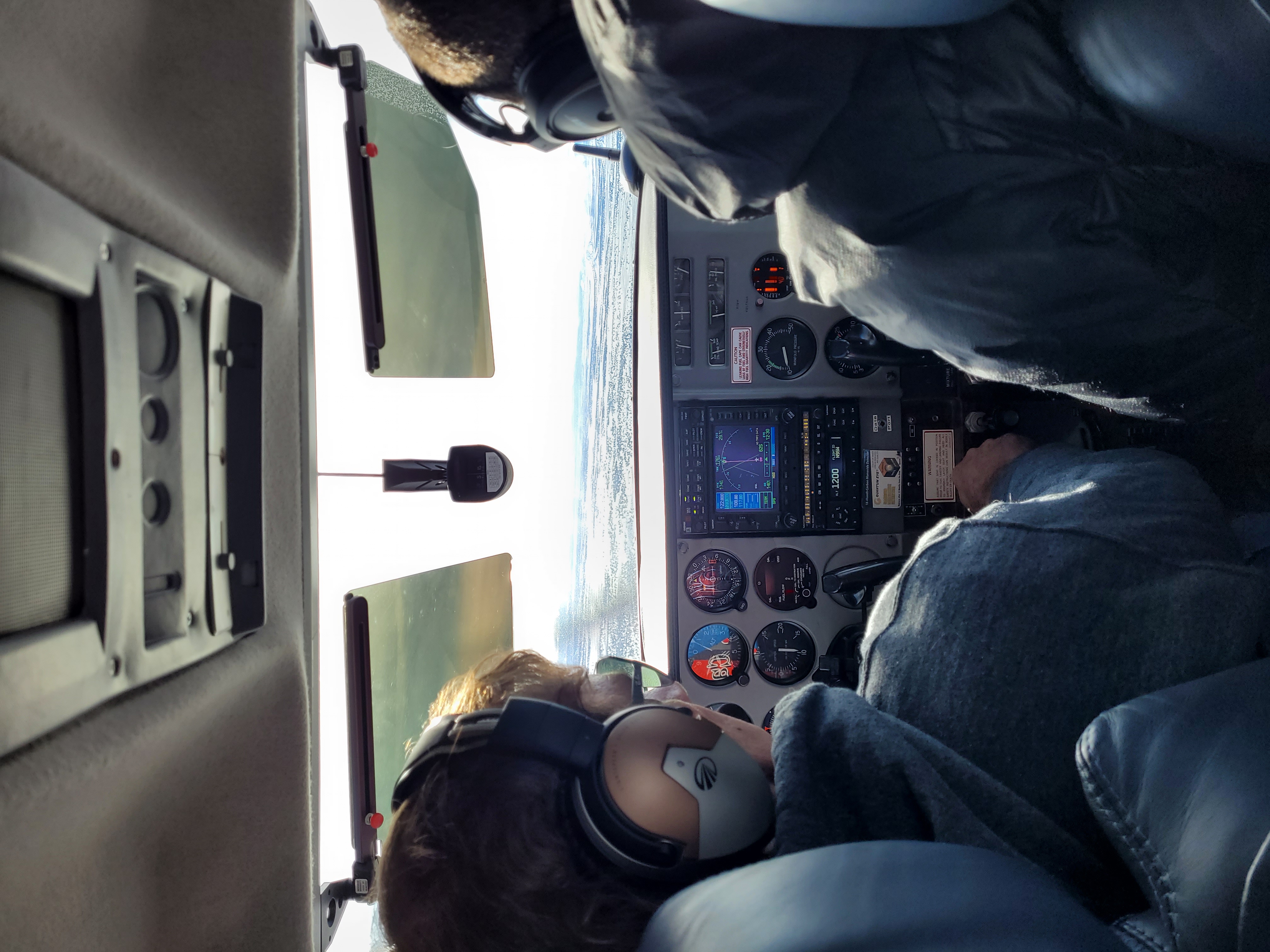
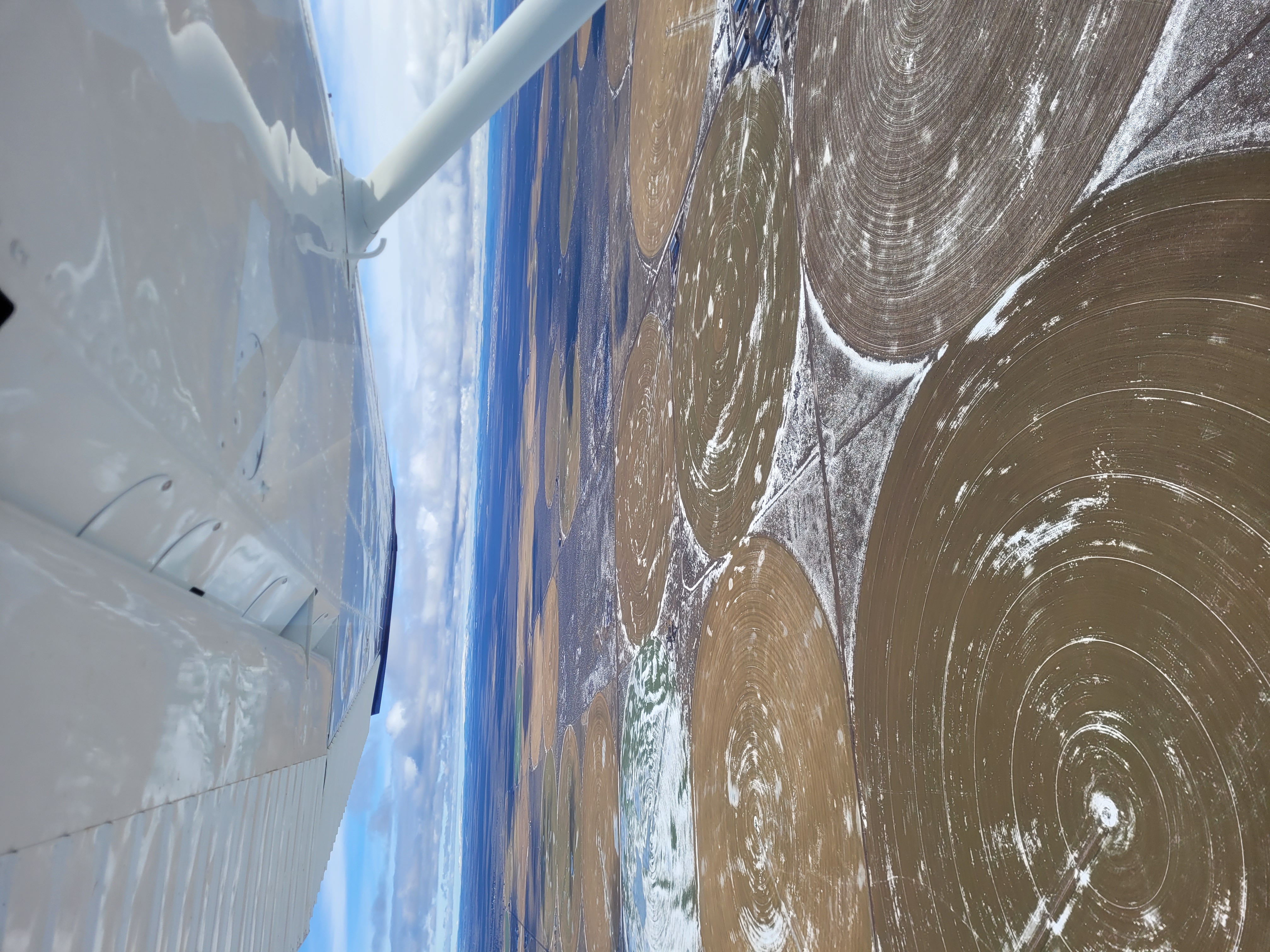
Aircraft

KC Aerial Survey allows us to collect data more efficiently over larger areas above the 400- foot elevation drone ceiling and in drone restricted airspace. We still integrate our boots on the ground efforts to identify property boundaries and establish accurate control set with aerial targets. Post Processing is done with Pix4d internally, with data imported into a Civil 3d Point Cloud where we process your final deliverables which will remain user friendly and accurate.

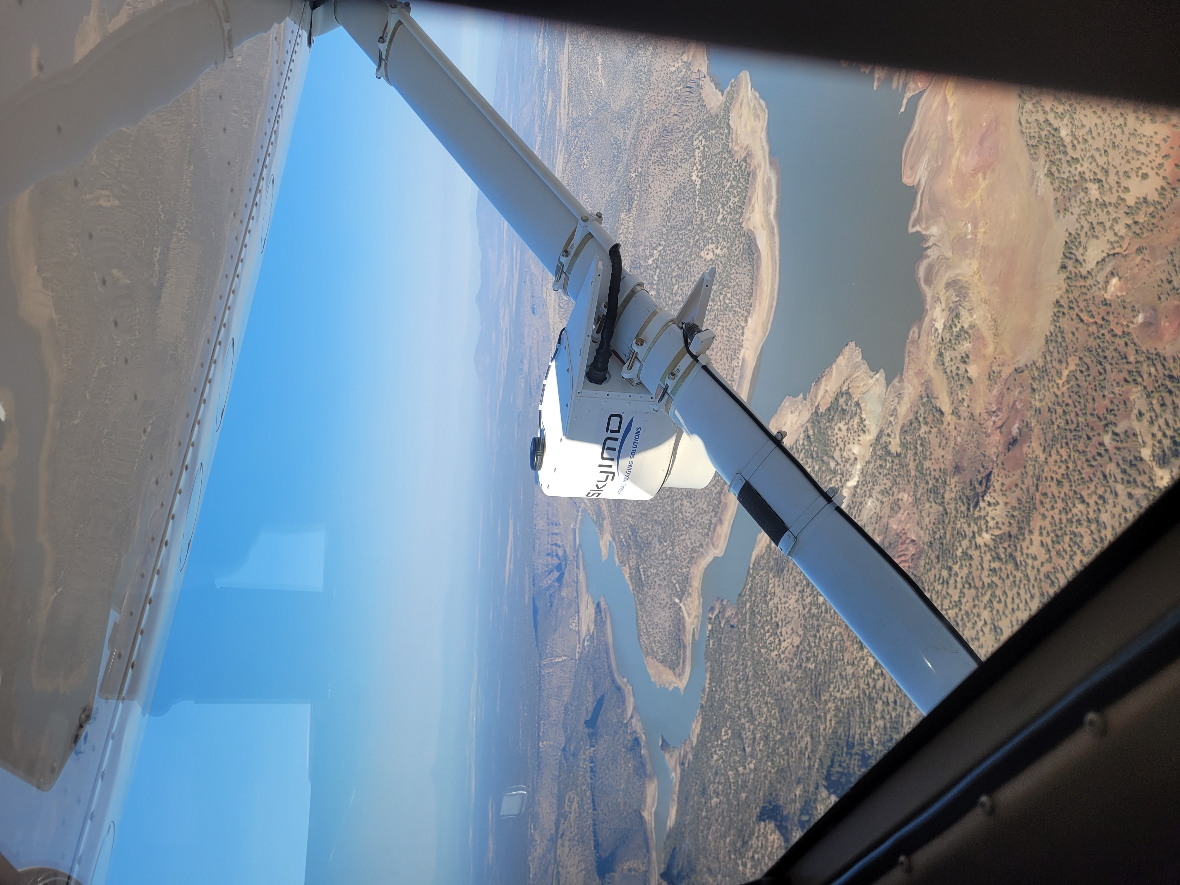
Prineville Reservoir Mesh

Safety is another huge benefit of our aerial surveying capabilities. We can provide surveys in a roadway or railroad right of way without entering the area or obstructing traffic. We can access remote areas including lakes and rivers to provide topography, quantities and obtain high level photogrammetry of the vegetation and terrain. Deliverables can include the photo mosaic to allow study of areas that are otherwise not safely accessible by surveyors or other professionals.

Next

Roger Lyle, Pilot

Roger is a retired E-8, Senior Chief Petty Officer of the United States Navy and a Commercial Pilot. His Certification Number is 3458147 with date of issue August 2011. Specific aviation training is as follows:

  • Central Oregon Community College, Bend, OR
    Major: Aviation (2011)
    Instrument Rating & Private/Commercial Pilot License
  • Robinson Helicopter Company, Torrance, CA
    Helicopter Pilot Safety Course (2012)
  • Quantum Helicopters, Chandler, AZ
    Helicopter Flight Instructor Certification (2012)
  • Leading Edge Aviation, Bend, OR
    Helicopter R22/44 Commercial Pilot Training (2009)
    Fixed Wing Certification Add On (2022)
With his exceptional flight experience, Roger is key for the upcoming fixed wing aerial survey endeavors of KC Development.

Next

Future Projects

We completed our initial mission, a 23.5 Square Mile flight over the Prineville Reservoir, in October of 2022. The water levels are reported to be at 10%, a historic low-level event, and we witnessed while wings up, the remarkable changes. We successfully mapped the remaining water levels and are working on the deliverables, maps of the basin, sediment levels and missing water quantities. This flight is intended to provide a baseline for future studies. Stay tuned for sample deliverables and more projects in the works!

Next